MipMap has released MipMap Desktop 3.2, which combines aerial and ground data in one reconstruction without RTK or manual registration.
MipMap lists .insv among the video formats its desktop client reads, the format written by Insta360 cameras and by the 8K 360 degree camera drone behind Project ETERNAL. Air-ground fusion widens that intake, taking flexible combinations of drones, handheld LiDAR devices and panoramic cameras into a single workflow, with aerial data covering roofs, facades and open ground and ground devices filling in what the air cannot reach.
A second mode, multi-station fusion, joins captures made separately across adjacent sections of a larger site. It accepts laser scanners of different models and different manufacturers, including different models from one manufacturer, and it requires that neighboring capture areas overlap on shared features so the datasets can be aligned.
Multi-station fusion runs on laser scanner data, and air-ground fusion names handheld LiDAR devices among its three supported source types. The MipMap pricing page excludes LiDAR point cloud 3D reconstruction from the free tier, which is otherwise capped at 500 images per task, and from Professional Perpetual at 2,499 dollars. LiDAR reconstruction starts at the Ultra subscription, 149 dollars a month, or Ultra Perpetual at 3,699 dollars.
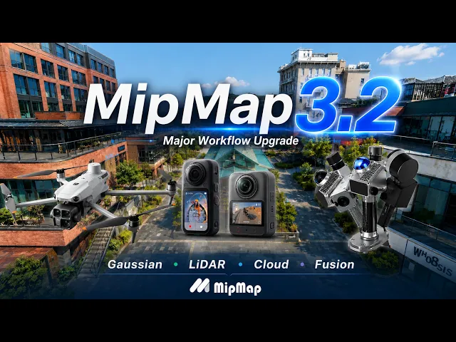
MipMap Desktop 3.2 also adds control over the maximum number of Gaussians a reconstruction produces, a lower ceiling producing a lighter result for previewing, sharing or downstream editing and a higher one where visual detail is the priority. HiDetail Capture, the vendor's spelling, is a high resolution retake pass that brings smartphone, professional camera or panoramic imagery in alongside laser scanning data where texture quality matters. Image masking marks fixed obstructions directly on photos and saves the mask information to the camera database, and clipping now runs inside MipMap across multiple result types.
Finished projects can be shared over a local network or the cloud through a QR code or web link, protected with a sharing password and an expiration period. Cloud shared results carry annotation and measurement tools that work without opening the source project. Export covers the whole result or a selected area with a chosen coordinate system and format, and the available outputs are aerial triangulation results, orthomosaics, 3D models and Gaussian Splats.