
DJI today launched the Avata 360, its first drone built specifically for omnidirectional spherical capture. The product debuted globally on March 26, 2026, with US availability following on March 30. While DJI made no explicit mention of Gaussian Splatting in today’s announcement, the hardware lands in an ecosystem the company has been systematically preparing for radiance field workflows.
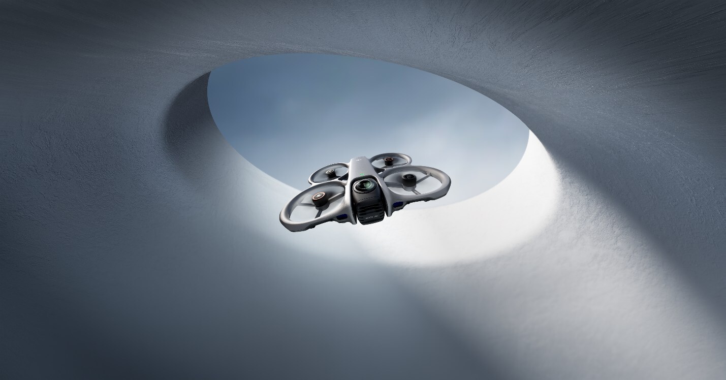
The Avata 360 is built around a tiltable dual lens camera system housing two 1/1.1-inch CMOS sensors. In 360° mode, one lens points up and one points down, capturing a full spherical field of view. Operators can rotate the camera to switch to single lens FPV mode when they need a more traditional forward facing perspective. The drone records 8K video at 60fps in full 360° format, with 120MP still capture available. Obstacle avoidance comes from a combination of forward-facing LiDAR, 3D infrared sensing, and an omnidirectional vision system. Range runs to 20km over DJI’s O4 transmission link. The whole package weighs approximately one pound inside a cinewhoop frame with full spherical propeller guards.
Perhaps most surprisingly, pricing starts at approximately $549 for drone only and reaches around $1,119 for the Fly More Combo with RC 2 controller and accessories. That positioning puts it well below the Insta360 Antigravity A1, the previous entrant in the 8K 360° drone category.
DJI already integrated native Gaussian Splatting into DJI Terra 5.0 in July 2025, enabling aerial image sets to be reconstructed into splats locally. FlightHub 2 followed in January 2026, extending that capability into DJI’s enterprise cloud operations platform.
What the Avata 360 changes is the nature of what goes into that pipeline. Standard photogrammetry drones, including DJI’s own Mavic and Matrice lines, capture imagery directionally. A 360° drone captures every angle simultaneously. Dense, omnidirectional coverage gives SfM algorithms far more overlapping views per frame, reducing the number of blind spots and improving pose estimation for objects like tree canopies, underpasses, building facades, and any geometry where a nadir or oblique pass leaves gaps.
The DJI Osmo 360 ground level camera has already been proven to be a great capture device. The Avata 360 extends that class of input to aerial altitudes, with the added stability and range of DJI’s flight hardware.
The FPV flight style opens an additional use case. FPV drones can fly through interiors, under structures, and close to objects that a standard mapping drone cannot safely approach. Combining FPV maneuverability with omnidirectional capture means a single flight pass could, in principle, gather the coverage density needed for a high quality splat of a space that conventional orbital or crosshatch flight patterns cannot fully resolve.
DJI has not positioned the Avata 360 as a radiance field capture device. But the infrastructure, Terra’s Gaussian Splatting pipeline, FlightHub 2’s integration layer, and DJI’s track record of connecting its hardware to its mapping software, suggests the workflow will exist in practice. Creators and researchers already using 360° video for splat reconstruction now have another purpose built aerial option at a competitive consumer price point.
Unfortunately the United States will not have access to this drone. More information about the Avata 360 can be found here.


New to Gaussian Splatting? Start here


