Esri Adds Georeferenced Gaussian Splat Layers to the ArcGIS Maps SDK for Unity at 2.4

Michael Rubloff

Michael Rubloff

Email
Copy Link
Twitter
Linkedin
Reddit
Whatsapp
D5 Render 3.1

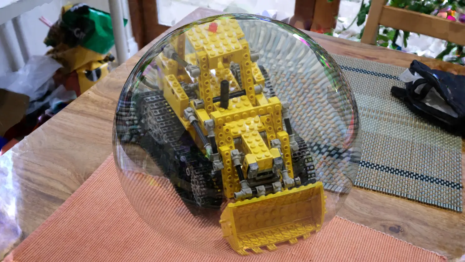
Esri has released ArcGIS Maps SDK for Unity 2.4.0, which adds a layer type for georeferenced Gaussian splat datasets.

The Unity SDK is a separate product line from the ArcGIS Maps SDK for JavaScript, which brought splat layers to the web at 5.0, and from the Native Apps runtime, which added them to .NET and Qt desktop applications at 300.1. Version 2.4.0 is the first release of the Unity SDK to carry the layer.

The new ArcGISGaussianSplatLayer class is joined by an ArcGISGaussianSplatLayer value on the ArcGISLayerType enum, and the layer surfaces in the ArcGISMap component layer type drop down under the Layers section and in the Layers tab of the Map Creator UI. Esri describes the layer as rendering reality capture data through collections of volumetric primitives that preserve thin structures, vegetation, transparency and reflective surfaces, and the layer draws with existing ArcGIS layer types in the same scene. Initial support covers desktop platforms only, and Esri names mobile support as planned for a future release.

Two known issues ship with the layer. BUG-000186431 records that Unity 3D objects placed between the camera and a Gaussian splat layer, or inside the splat content itself, may not be visible, because splat layers currently occlude other scene content. BUG-000186432 records that splat layers always render opaque and that layer opacity cannot be adjusted. Esri lists no workaround for either.

The same release adds ArcGISPointCloudSplatAlgorithm, which renders point cloud points as splats at a fixed size in meters or screen space, and a renderer and filter API covering ArcGISPointCloudRenderer, ArcGISPointCloudRGBRenderer, ArcGISPointCloudClassBreaksRenderer, ArcGISPointCloudBitfieldFilter and ArcGISPointCloudReturnFilter. Point Scene Layers gain 2D billboarded picture and vector marker symbols, and 3D Tiles layers get improved tile prioritization, level of detail selection and culling, plus dynamic attribution and copyright.

Unity 6.4 is no longer supported, 2.4 is the last release to support Android 9, and the Unity editor on Intel x64 Macs is deprecated.

A GIS team already publishing splat layers to ArcGIS Online can now pull the same georeferenced capture into a Unity scene and place it against terrain and feature data in the editor. Learn more here.

Featured

Recents

Platforms

XGRIDS Adds Real Time Lights and Shadows to Gaussian Splats in LCC Unity SDK 2.2.0

XGRIDS LCC Unity SDK 2.2.0 adds real-time point and spot lights with shadow casting to Gaussian splat scenes, gains Ubuntu support, and improves XR rendering.

Michael Rubloff

Aug 6, 2026

Platforms

XGRIDS Adds Real Time Lights and Shadows to Gaussian Splats in LCC Unity SDK 2.2.0

XGRIDS LCC Unity SDK 2.2.0 adds real-time point and spot lights with shadow casting to Gaussian splat scenes, gains Ubuntu support, and improves XR rendering.

Michael Rubloff

Esri Adds Gaussian Splat Layers to the ArcGIS Maps SDKs for Native Apps at 300.1

Esri ArcGIS Maps SDKs for Native Apps 300.1 adds Gaussian splat layers to .NET and Qt desktop apps, reading web layers or local 3D Tiles for offline use.

Michael Rubloff

Aug 6, 2026

Esri Adds Gaussian Splat Layers to the ArcGIS Maps SDKs for Native Apps at 300.1

Esri ArcGIS Maps SDKs for Native Apps 300.1 adds Gaussian splat layers to .NET and Qt desktop apps, reading web layers or local 3D Tiles for offline use.

Michael Rubloff

Guest Article

A Photographer's Case for Single-Image Splats

A guest article from Danil Zanozin about how a photographer can use gaussian splatting.

Danil Zanozin

Aug 5, 2026

Guest Article

A Photographer's Case for Single-Image Splats

A guest article from Danil Zanozin about how a photographer can use gaussian splatting.

Danil Zanozin

NUBIGON Pro v7.5.2 Extends Clip Plane Support to Gaussian Splats

NUBIGON Pro v7.5.2 extends clip plane support to Gaussian splats for dollhouse cuts and improves level of detail on large splat datasets on Windows.

Michael Rubloff

Aug 4, 2026

NUBIGON Pro v7.5.2 Extends Clip Plane Support to Gaussian Splats

NUBIGON Pro v7.5.2 extends clip plane support to Gaussian splats for dollhouse cuts and improves level of detail on large splat datasets on Windows.

Michael Rubloff

Trending Articles
  1. TRENDING
    Loading...
  2. TRENDING
    Loading...
  3. TRENDING
    Loading...
Michael Rubloff

Written by Michael Rubloff

Michael is the Founder and Managing Editor of Radiancefields.com

Email
Copy Link
Twitter
Linkedin
Reddit
Whatsapp

More from Michael Rubloff

More from Michael Rubloff

Esri Adds Georeferenced Gaussian Splat Layers to the ArcGIS Maps SDK for Unity at 2.4

Esri ArcGIS Maps SDK for Unity 2.4.0 adds a georeferenced Gaussian splat layer type for Unity scenes, on desktop only.

Michael Rubloff

Aug 7, 2026

Esri Adds Georeferenced Gaussian Splat Layers to the ArcGIS Maps SDK for Unity at 2.4

Michael Rubloff

Aug 7, 2026

Esri Adds Georeferenced Gaussian Splat Layers to the ArcGIS Maps SDK for Unity at 2.4

Esri ArcGIS Maps SDK for Unity 2.4.0 adds a georeferenced Gaussian splat layer type for Unity scenes, on desktop only.

Michael Rubloff

Aug 7, 2026

Platforms

XGRIDS Adds Real Time Lights and Shadows to Gaussian Splats in LCC Unity SDK 2.2.0

XGRIDS LCC Unity SDK 2.2.0 adds real-time point and spot lights with shadow casting to Gaussian splat scenes, gains Ubuntu support, and improves XR rendering.

Michael Rubloff

Aug 6, 2026

XGRIDS

Platforms

XGRIDS Adds Real Time Lights and Shadows to Gaussian Splats in LCC Unity SDK 2.2.0

Michael Rubloff

Aug 6, 2026

XGRIDS

Platforms

XGRIDS Adds Real Time Lights and Shadows to Gaussian Splats in LCC Unity SDK 2.2.0

XGRIDS LCC Unity SDK 2.2.0 adds real-time point and spot lights with shadow casting to Gaussian splat scenes, gains Ubuntu support, and improves XR rendering.

Michael Rubloff

Aug 6, 2026

XGRIDS

Esri Adds Gaussian Splat Layers to the ArcGIS Maps SDKs for Native Apps at 300.1

Esri ArcGIS Maps SDKs for Native Apps 300.1 adds Gaussian splat layers to .NET and Qt desktop apps, reading web layers or local 3D Tiles for offline use.

Michael Rubloff

Aug 6, 2026

Esri

Esri Adds Gaussian Splat Layers to the ArcGIS Maps SDKs for Native Apps at 300.1

Michael Rubloff

Aug 6, 2026

Esri

Esri Adds Gaussian Splat Layers to the ArcGIS Maps SDKs for Native Apps at 300.1

Esri ArcGIS Maps SDKs for Native Apps 300.1 adds Gaussian splat layers to .NET and Qt desktop apps, reading web layers or local 3D Tiles for offline use.

Michael Rubloff

Aug 6, 2026

Esri