Esri Adds Gaussian Splat Layers to the ArcGIS Maps SDKs for Native Apps at 300.1

Michael Rubloff

Michael Rubloff

Tags

Email
Copy Link
Twitter
Linkedin
Reddit
Whatsapp
Esri

Esri has released ArcGIS Maps SDKs for Native Apps 300.1, which adds gaussian splat layers to desktop applications built with .NET and Qt.

The Native Apps SDKs are the .NET, Qt, Kotlin, Swift and Flutter runtime line, a separate product from ArcGIS Maps SDK for JavaScript, which added splat layers to the web at 5.0 and 3D analysis tools on top of them at 5.1. Splat layers reached on premises deployments when ArcGIS Enterprise 12.1 brought them to Scene Viewer. Support for Android and iOS across the Native Maps SDKs is planned for a future release.

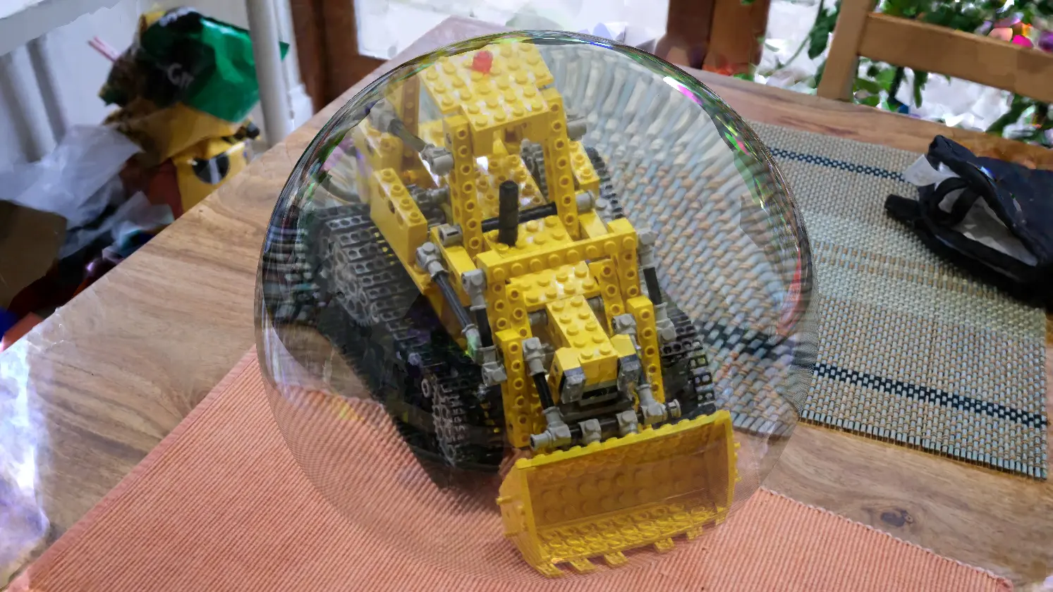
Gaussian splat layers render in local scenes through the local scene view, which Esri introduced at 300.0 in April 2026. A layer can reference a web layer published to ArcGIS Online or ArcGIS Enterprise, or read a local 3D Tiles dataset or archive from disk for offline, secure and bandwidth constrained workflows.

Esri delivers splat layers as 3D Tiles 1.1 with glTF payloads, and the tilesets list KHR_gaussian_splatting and KHR_gaussian_splatting_compression_spz_2 as required extensions alongside an ESRI_crs extension carrying the coordinate reference system. Esri names utility power lines, industrial pipelines, construction equipment and plant facilities as the infrastructure the layers are aimed at.

The rest of 300.1 covers identify on vector tiled layers published with feature IDs, a point cloud layer API for client side renderers and filters, shared editing templates inside offline maps and sync enabled mobile geodatabases, and on device slope, aspect and map algebra functions.

A field crew working from a downloaded 3D Tiles archive can now open a splat capture in a local scene with no server connection. Learn more here.

Featured

Recents

Guest Article

A Photographer's Case for Single-Image Splats

A guest article from Danil Zanozin about how a photographer can use gaussian splatting.

Danil Zanozin

Aug 5, 2026

Guest Article

A Photographer's Case for Single-Image Splats

A guest article from Danil Zanozin about how a photographer can use gaussian splatting.

Danil Zanozin

NUBIGON Pro v7.5.2 Extends Clip Plane Support to Gaussian Splats

NUBIGON Pro v7.5.2 extends clip plane support to Gaussian splats for dollhouse cuts and improves level of detail on large splat datasets on Windows.

Michael Rubloff

Aug 4, 2026

NUBIGON Pro v7.5.2 Extends Clip Plane Support to Gaussian Splats

NUBIGON Pro v7.5.2 extends clip plane support to Gaussian splats for dollhouse cuts and improves level of detail on large splat datasets on Windows.

Michael Rubloff

MPEG Calls for Dynamic Gaussian Splat Test Material Ahead of a Coding Call for Proposals

MPEG has formally opened a call for content for Gaussian splat coding, seeking dynamic I-3DGS test material with COLMAP camera calibration by 15 October 2026.

Michael Rubloff

Aug 4, 2026

MPEG Calls for Dynamic Gaussian Splat Test Material Ahead of a Coding Call for Proposals

MPEG has formally opened a call for content for Gaussian splat coding, seeking dynamic I-3DGS test material with COLMAP camera calibration by 15 October 2026.

Michael Rubloff

Terrasolid Adds Cut, Copy and Paste Point Tools to TerraScan for Gaussian Splat Editing

TerraScan 026.008 adds Cut, Copy and Paste point tools for manual Gaussian Splat scene editing, and TerraSplat renders the result inside Bentley and Spatix CAD.

Michael Rubloff

Aug 3, 2026

Terrasolid Adds Cut, Copy and Paste Point Tools to TerraScan for Gaussian Splat Editing

TerraScan 026.008 adds Cut, Copy and Paste point tools for manual Gaussian Splat scene editing, and TerraSplat renders the result inside Bentley and Spatix CAD.

Michael Rubloff

Michael Rubloff

Written by Michael Rubloff

Michael is the Founder and Managing Editor of Radiancefields.com

Email
Copy Link
Twitter
Linkedin
Reddit
Whatsapp

More from Michael Rubloff

More from Michael Rubloff

Esri Adds Gaussian Splat Layers to the ArcGIS Maps SDKs for Native Apps at 300.1

Esri ArcGIS Maps SDKs for Native Apps 300.1 adds Gaussian splat layers to .NET and Qt desktop apps, reading web layers or local 3D Tiles for offline use.

Michael Rubloff

Aug 6, 2026

Esri

Esri Adds Gaussian Splat Layers to the ArcGIS Maps SDKs for Native Apps at 300.1

Michael Rubloff

Aug 6, 2026

Esri

Esri Adds Gaussian Splat Layers to the ArcGIS Maps SDKs for Native Apps at 300.1

Esri ArcGIS Maps SDKs for Native Apps 300.1 adds Gaussian splat layers to .NET and Qt desktop apps, reading web layers or local 3D Tiles for offline use.

Michael Rubloff

Aug 6, 2026

Esri

NUBIGON Pro v7.5.2 Extends Clip Plane Support to Gaussian Splats

NUBIGON Pro v7.5.2 extends clip plane support to Gaussian splats for dollhouse cuts and improves level of detail on large splat datasets on Windows.

Michael Rubloff

Aug 4, 2026

NUBIGON

NUBIGON Pro v7.5.2 Extends Clip Plane Support to Gaussian Splats

Michael Rubloff

Aug 4, 2026

NUBIGON

NUBIGON Pro v7.5.2 Extends Clip Plane Support to Gaussian Splats

NUBIGON Pro v7.5.2 extends clip plane support to Gaussian splats for dollhouse cuts and improves level of detail on large splat datasets on Windows.

Michael Rubloff

Aug 4, 2026

NUBIGON

MPEG Calls for Dynamic Gaussian Splat Test Material Ahead of a Coding Call for Proposals

MPEG has formally opened a call for content for Gaussian splat coding, seeking dynamic I-3DGS test material with COLMAP camera calibration by 15 October 2026.

Michael Rubloff

Aug 4, 2026

MPEG Gaussian Splatting

MPEG Calls for Dynamic Gaussian Splat Test Material Ahead of a Coding Call for Proposals

Michael Rubloff

Aug 4, 2026

MPEG Gaussian Splatting

MPEG Calls for Dynamic Gaussian Splat Test Material Ahead of a Coding Call for Proposals

MPEG has formally opened a call for content for Gaussian splat coding, seeking dynamic I-3DGS test material with COLMAP camera calibration by 15 October 2026.

Michael Rubloff

Aug 4, 2026

MPEG Gaussian Splatting