
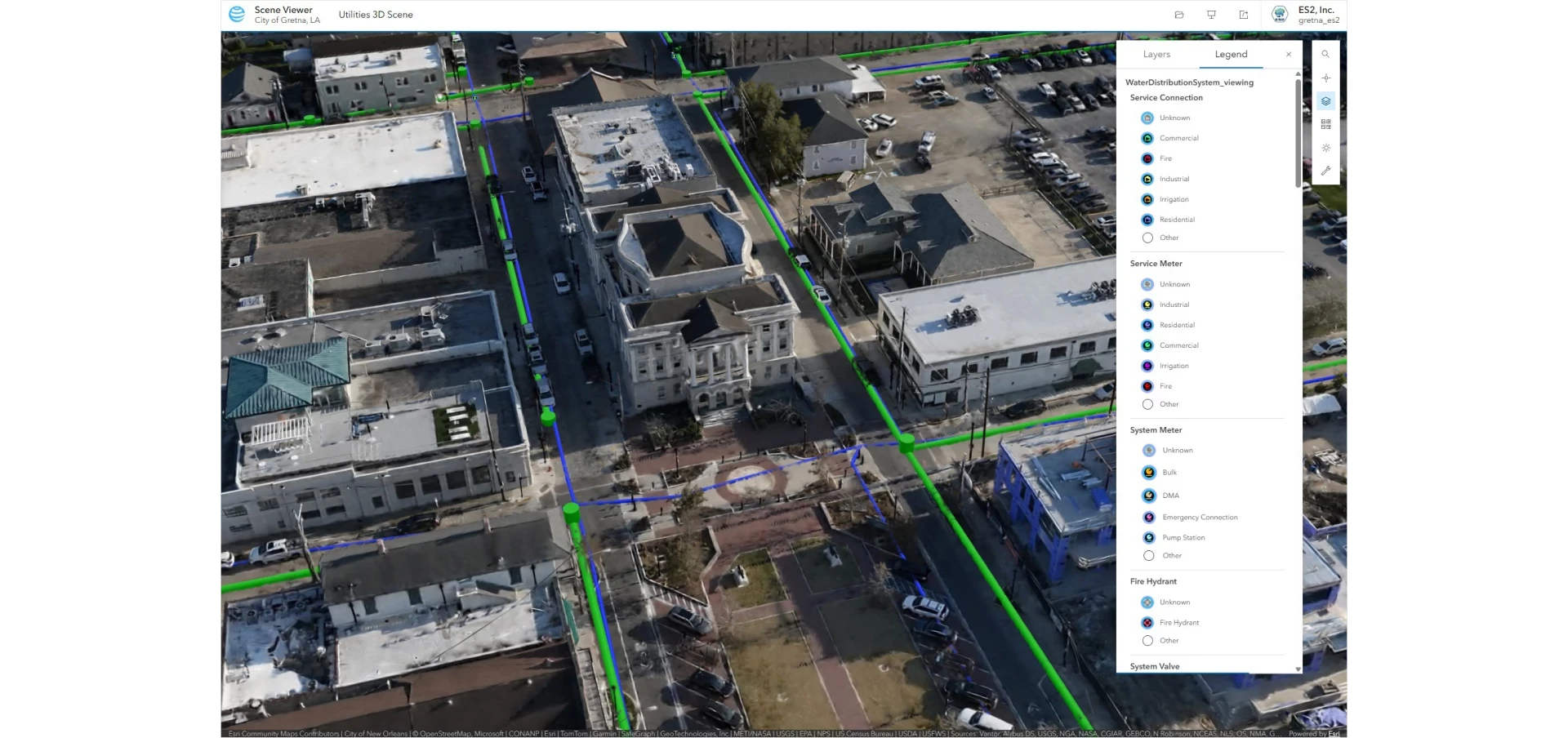
The City of Gretna, Louisiana, has flown its roughly four square miles for imagery and lidar and processed the capture into Gaussian splats using Esri ArcGIS Reality, according to an Esri case study.
Gretna sits across the Mississippi River from New Orleans. The city's existing GIS datasets are useful but incomplete and hard to access, and the work of updating them as too large for the city's small IT team. The city brought in ES2, an Esri business partner and engineering and surveying firm based in Denham Springs, Louisiana. ES2 flew a WingtraRAY, a Blue UAS compliant drone with FAA Category 3 approval for operations over people, and collected high resolution imagery and lidar across the city.
ES2 processed the capture in ArcGIS Reality into orthomosaics and Gaussian splats. Rafael Fernandes, business development lead at ES2, stated the output is "a really high-quality Gaussian splat for the entire city." The case study shows a splat layer of the Gretna Rail Yard and a highway rendered as a Gaussian Splat layer.
Esri has been extending splat support across ArcGIS. The company announced Gaussian splat layer creation for Site Scan drone processing, and ArcGIS Reality for ArcGIS Pro improved splat fidelity in its May 2026 release.
ArcGIS Online and ArcGIS Field Maps carry the data into daily operations, with crews logging work such as water meter installs and repairs in real time. One unexpected use of the 3D data came from code enforcement. City staff examined an unpermitted property from several angles in the model, and that documentation helped show the court that construction was happening without proper permits.
Gretna plans to train other departments on ArcGIS Reality, show prospective developers sites in 3D, support public safety planning for Mardi Gras parades, and record curb and sidewalk conditions without dispatching crews. Esri's full case study describes the project.

